Agricultural Drone Company Improved Crop Detection by 35%
How aerial imagery annotation for crop type classification, pest detection, and yield estimation enabled precision agriculture at scale.
35%
Detection Improvement
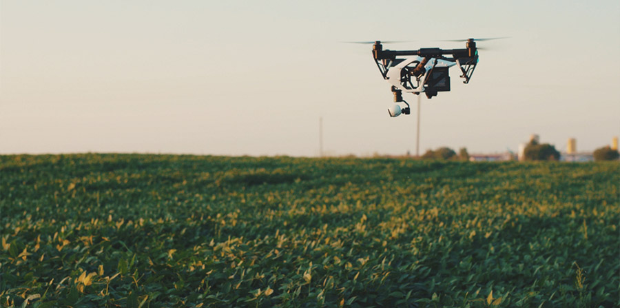
Aerial
Imagery Annotation
Seasonal
Coverage
The Challenge
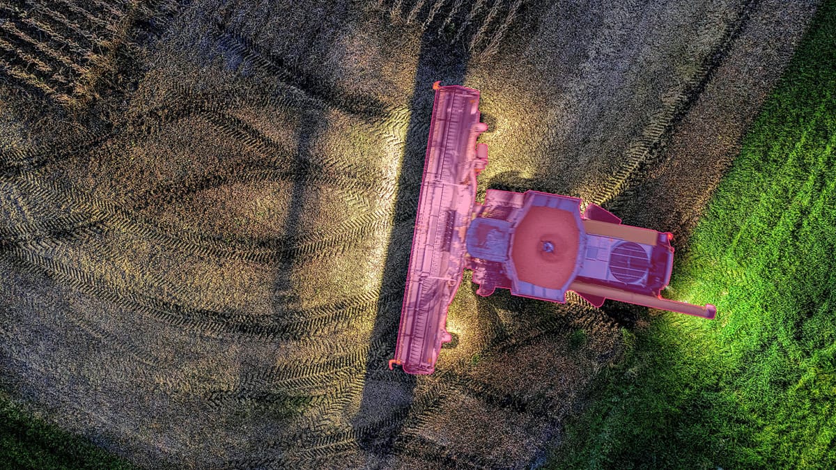
An agricultural drone company providing precision agriculture solutions needed to significantly improve the accuracy of their crop detection and analysis models. Their challenges included:
- •Distinguishing between crop types with similar visual signatures from aerial imagery
- •Detecting early-stage pest infestations and crop stress before visible to the naked eye
- •Handling varying seasonal conditions, growth stages, and lighting across large fields
- •Scaling annotation across thousands of hectares of farmland captured by drone fleets
The Solution
SwarmLearn built a specialized aerial imagery annotation pipeline tailored to precision agriculture needs. Our approach included:
Crop Type Classification
Pixel-accurate semantic segmentation of aerial imagery to classify crop types, growth stages, and field boundaries across diverse agricultural regions.
Pest & Disease Detection
Annotated subtle visual indicators of pest infestations, disease outbreaks, and crop stress to train early-warning detection models.
Yield Estimation Models
Structured annotation of plant density, canopy coverage, and fruit/head counts to power predictive yield estimation algorithms.
Seasonal Scale Operations
Designed agile annotation teams that could scale during peak growing seasons and adapt to different crop cycles across regions.
The Results
The aerial imagery annotation project delivered significant improvements to the drone company's precision agriculture platform:
35% Improvement in Crop Detection
Significantly higher accuracy in identifying crop boundaries and types from aerial imagery, reducing false positives and missed detections.
Earlier Pest Detection
Models trained on annotated data could identify pest and disease indicators earlier in the crop cycle, enabling faster intervention.
Seasonal Coverage at Scale
Successfully annotated imagery across multiple growing seasons, enabling year-over-year model improvement and broader deployment.
Ready to Transform Your Agricultural Operations?
Learn how SwarmLearn can deliver high-quality aerial imagery annotation for your precision agriculture and drone programs.